

Point Creek Natural Area
CLIENT
Manitowoc County
LOCATION
Manitowoc, Wisconsin
STATUS
Current Project
Established
28 June 2002
SIZE
39 Acres
CATEGORY
Park / Natural Habitat
Point Creek Conservation Area is part of the Manitowoc County Park System, located in the Town of Centerville in the southeastern portion of Manitowoc County on County Road LS and 1/2 mile south of County Road F. Manitowoc County took ownership of the property in June, 2002 and has a conservation easement with the Glacial Lakes Conservancy. Funds for the purchase price of $1.9 million were provided by the Knowles-Nelson Stewardship Program, Wisconsin Coastal Management Grant, and other generous private donations. The purpose of the conservation easement is to preserve the area’s natural and scenic attributes and provide access for public use. The intent of the conservation easement is to actively manage the area to become One Ecological Unit with the mature Northern Hardwood Forest on the south side of the creek, which is owned by University of Wisconsin Green Bay (UWGB) and is known as Kingfisher Farm Natural Area. The Point Creek Management Committee provides oversight of the property and guides all restoration efforts.

The Property consists of 39 acres of a 50 year old pine plantation, estuary, wetlands and coastal bluffs 40–65 ft. high, with approximately 2,800 feet of Lake Michigan shoreline. Point Creek defines the southern boundary of the Property, which has over 1,000 feet of riparian corridor. Remnant sand dunes from an interglacial period exist on the south end near the mouth of the creek and westward into private property, which has been mined for sand since the 1920’s. The Property was cleared of most of its trees and farmed from the 1880’s until early 1960’s. During this period the owner allowed the area near the creek to be used as a park with a baseball field located on the riparian zone. Remnant roads servicing this area near the creek can still be seen. As a result of the clearing and farming, most of the top soil was lost due to wind erosion, leaving a clay soil on the north end and a sandy soil on the south end. The land was purchased in the early 1960’s and the owner planted a pine plantation there in the mid-1960’s. A cottage was constructed overlooking the mouth of the creek and all that remains is its concrete pad.
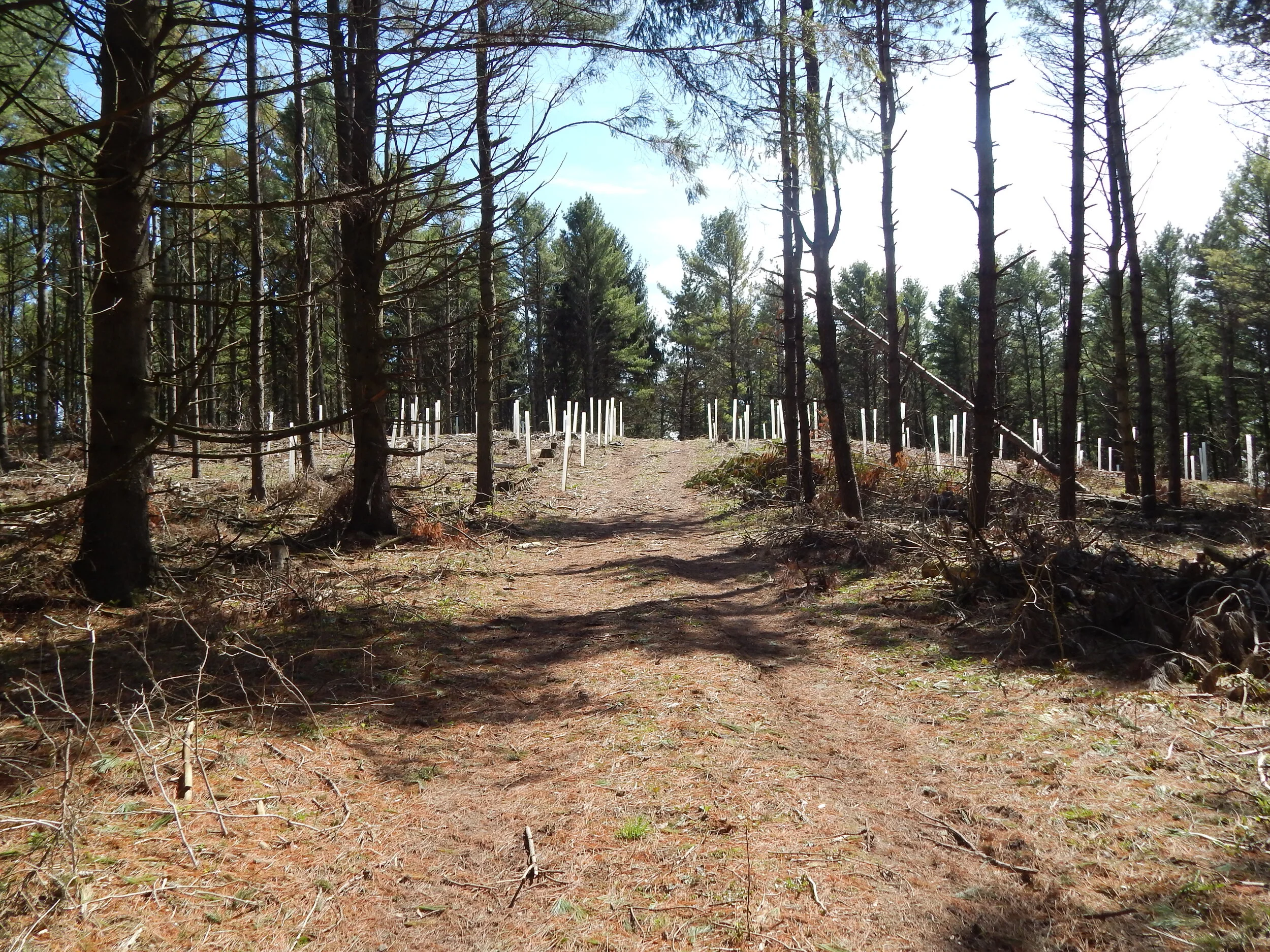
Volunteers planted over 2000 trees in the Spring of 2019

Volunteers help plant trees at Point Creek Natural Area.